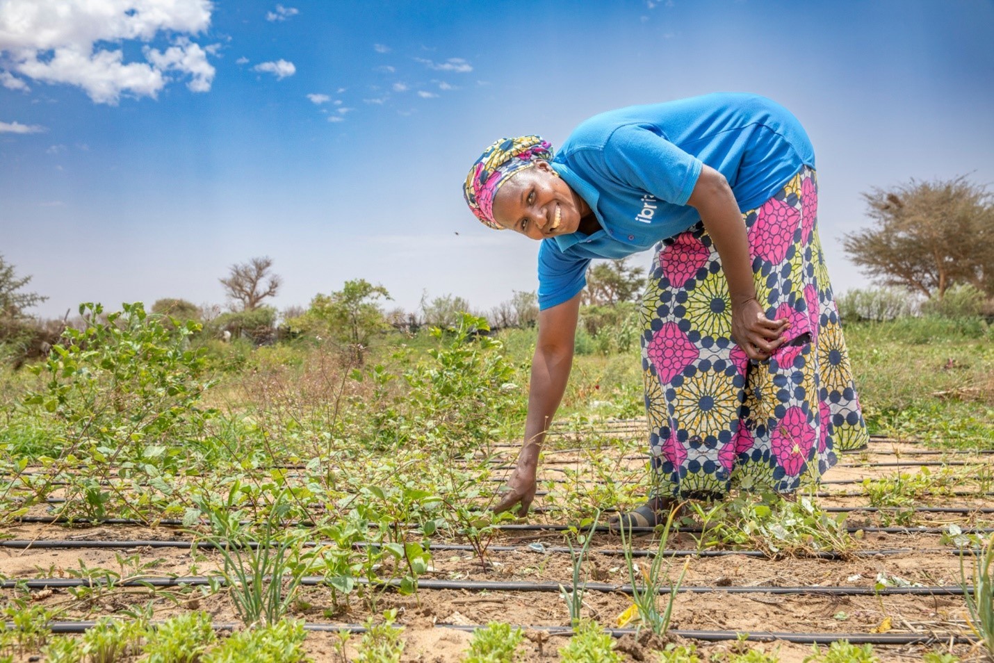
A Mercy Corps program participant and his associates weed his maize field in Karamoja, Uganda © Ezra Millstein/Mercy Corps
How ready are humanitarian and development organizations to harness the power of geospatial data? Mercy Corps’ recent analysis—an initiative of the GeoField program—set out to find out. The results reveal both surprising momentum and persistent challenges, and offer actionable insights for organizations navigating similar journeys.
Use of Earth observation and GIS holds great potential to improve the efficiency and effectiveness of program impact evaluation. Despite growing interest in geospatial impact evaluations (GIEs), many organizations and programs lack the granular, geo-referenced data needed to realize their full potential. And while prevalence of spatial data collection is increasing, it often doesn’t go far enough to support program design or impact evaluation needs (i.e. it is only used for a singular purpose like assuring data collection quality).
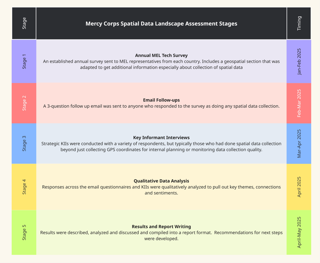
Earlier this year, Mercy Corps set out to assess spatial data readiness across 258 programs active in 2024 via surveys, follow-up inquiries, and key informant interviews (see methodology below). The goal was to understand current motivations, practices, and gaps for collection of spatial data so that we could prepare a roadmap for increased competency with collection and use of this data, and in turn, more universal foundational “readiness” to conduct GIEs in programs.
We describe and analyze these findings and recommendations in a report, which you can find here.
See the report to get our full take on these findings and their implications.
In the report, we make recommendations for several important next steps to improve our spatial data collection and use including:
We are already hard at work on the first recommendation, building out guidance for more robust, accurate, and responsible collection of spatial data across programs – see our draft of this guidance in the report Appendix (linked below). The others are either in progress or will start to be addressed in coming months.
Along with the report, we’ve provided many of the tools to conduct an assessment like this for your own organization, including our initial survey questions, email follow-ups, KII guide, and qualitative analysis methodology. These resources should give you everything you need to adapt and replicate this landscape assessment process for your own organization and start to bridge the geospatial gap at your own organization.
We’d love to hear about your organization’s journey with spatial data collection and really start a dialogue about how we can collaborate as peers to more effectively collect and use spatial data to support a host of program functions including impact evaluation. You can do so through the contact form on the GeoField website, the GeoField LinkedIn page, or reach out to us directly through the contact information in the report.