GeoField is a community of practice advancing the use of Earth observation, geospatial data, and impact evaluation for climate adaptation and agricultural development.
Climate-smart agriculture and adaptation programs are often implemented in places where field data are costly, delayed, incomplete, or difficult to collect. At the same time, funders and implementers need better ways to understand whether investments are changing agricultural practices, improving resilience, protecting land and water systems, and reaching the people and places they are intended to serve.
GeoField helps close that gap by translating long-term observations of climate, land use, water, crops, and agricultural practices into program-ready evidence.
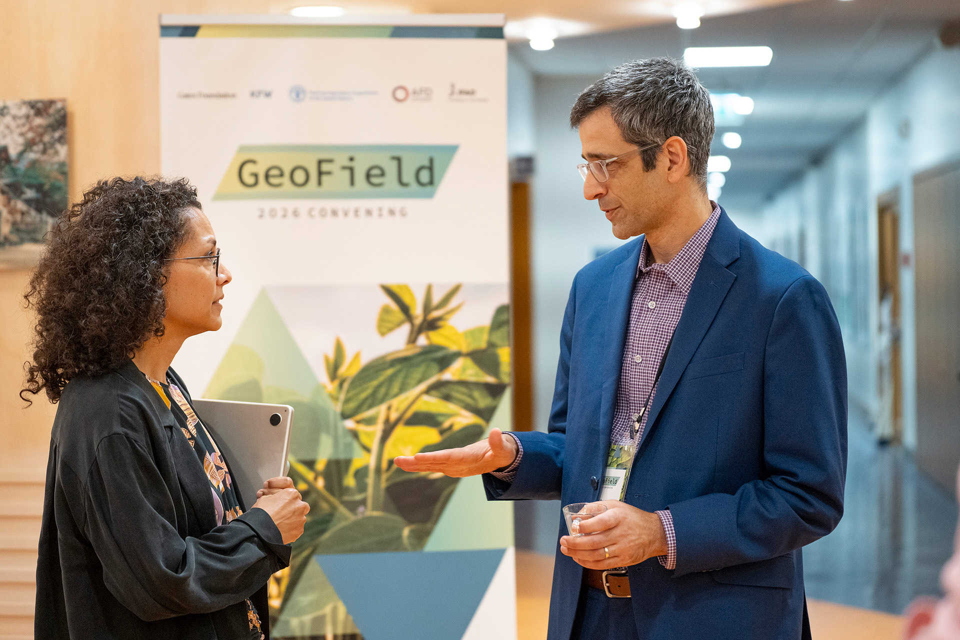
Launched with support from the Gates Foundation, GeoField brought together AidData, DevGlobal Partners, Mercy Corps, and a growing network of researchers, practitioners, funders, and implementing organizations.
The initiative helps translate long-term observations of climate, land use, water, crops, and agricultural practices into program-ready evidence on where development investments are working, where they are stalling, and why.
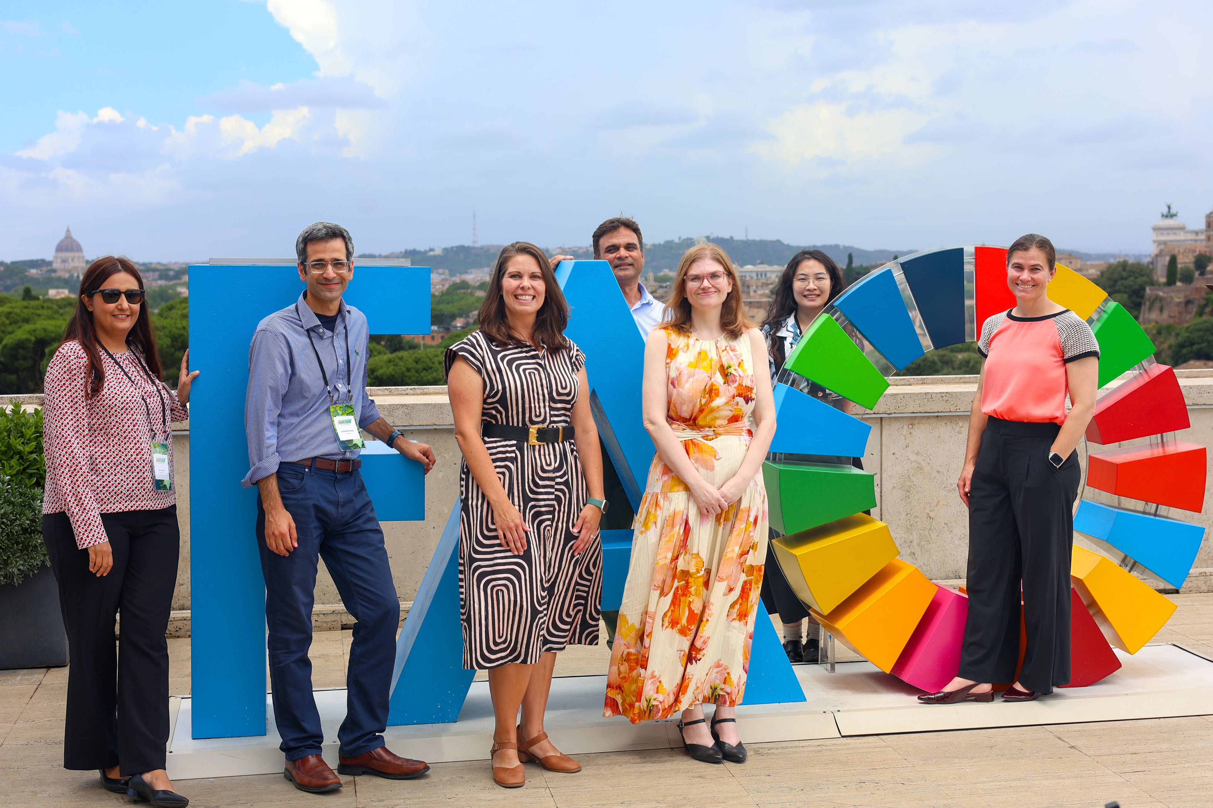
Through applied use cases, shared methods, training resources, and convenings, GeoField has helped demonstrate how Earth observation can expand the range of outcomes that can be measured.
These approaches can improve the cost-effectiveness and rigor of impact evaluations and support learning in places where field data are costly, delayed, or difficult to collect.
GeoField is helping move the field beyond bespoke analyses toward more adaptable and reusable geospatial modeling tools. This shift can support more continuous, near-real-time learning about agricultural technologies, climate resilience, and the conditions under which large-scale development investments succeed.
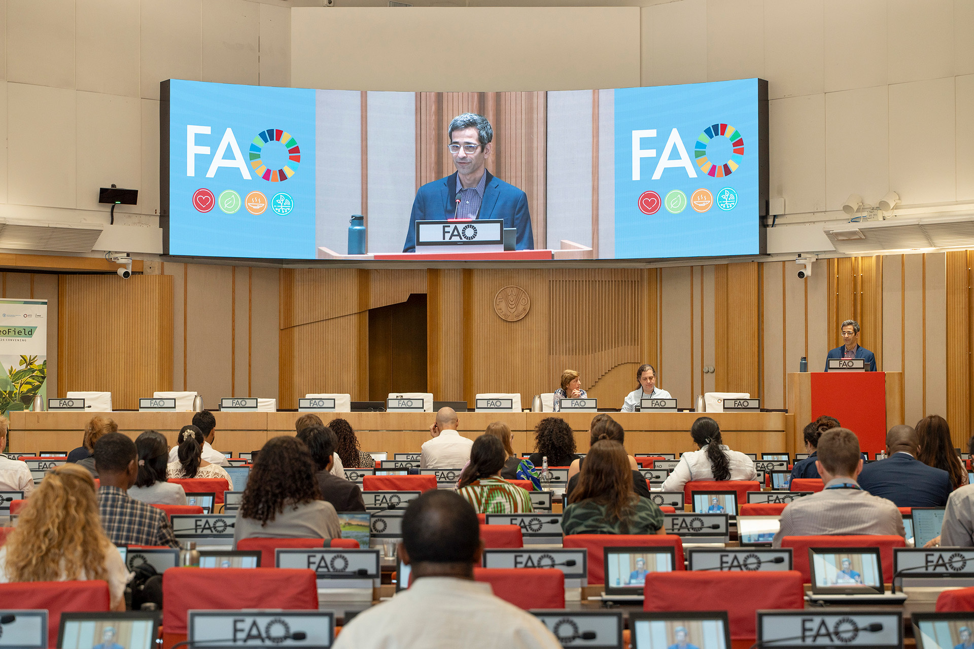
AidData continues to support the GeoField community of practice and welcomes engagement from climate scientists, agronomists, economists, geospatial practitioners, funders, agricultural development organizations, and field partners.
Together, the community is working to strengthen the evidence base for climate-smart agriculture and adaptation.
